Norway 2009 - Bynuten3rd August 2009 Map: Red blobs of paint on rocks and trees
Weather: Some sunshine, with intermittent showers
From the RV 508 road to Bynuten and back: 7.7 miles by Satmap Active 10 gps
I was working (and I use the term loosely) in the Tananger office in Norway for a couple of weeks, and took the opportunity to walk when I could get away with it! I was lucky to be within reach of a good walk that didn’t take me away too far and get back too late. I was a bit wary about going out into the wilds without a proper map, but I was assured by my Norwegian colleagues that the routes are well marked with blobs of red paint, the next one along always in view – apparently. I also had my GPS with me, and although it didn’t have a map on the screen, it had my track and was set to UTM co-ordinates.

But I was pleasantly surprised that it was easy enough to follow the route. There are a couple of fantastic places to visit within reach of Stavanger, given that you have enough time to spare. The number one attraction is the Pulpit rock, a square of rock standing high above the fjord – but that required a ferry journey and I didn’t have the time. The next best was Kjerrag, which involved a day’s journey at the end of my hitch - unfortunately it absolutely threw it down, but I still had a great day out. I settled on a nice relaxing walk to Bynutten as recommended in the tourist blurb, being only a 40 minute drive from Stavanger and a 4 hour walk, and I could fit it into my day. I set off from the office letting everyone know where I was headed – just in case.


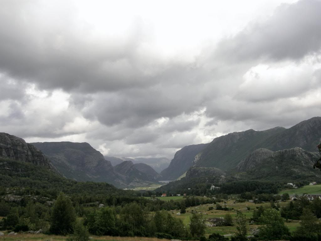
There were glorious views down the valleys past Oltedal, the 45 road to take to go to Sirdal and onto Kjerrag. I followed my google map – ‘what’ I hear you shout – but it was OK. I looked for some information on the web but couldn’t find anything bar a few pictures, one of those being the sign that marks the start of the trail. So armed with an internet map and a mental picture of a wooden sign post I turned up the road from Oltedal, knowing it was just around the corner – somewhere – recipe for disaster – but it wasn’t. Soon enough I found the wooden sign and parked up. The sign had seen better days, and I was the only car so knew it would be a quiet walk.

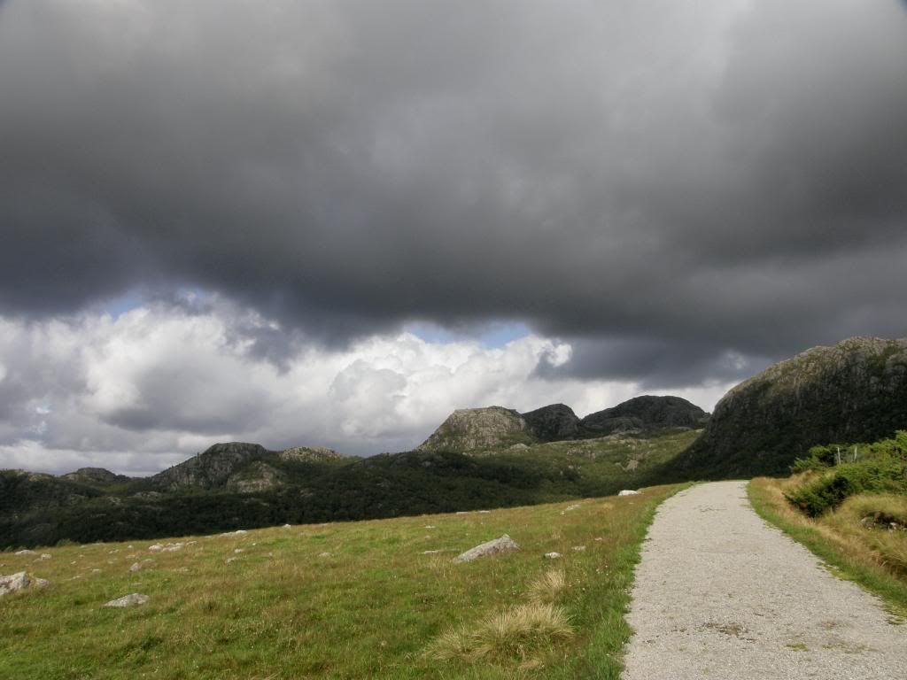
Hmmm...the first thing I spotted was the start of the path submerged in a couple of feet of cold fast flowing river – great start. It took a further 20minutes or so to find my way across further downstream. I hopped across a few boulders and through some scratchy Juniper scrub, but stayed dry thank goodness. The initial route took me up a stony farm track with gentle ascent, with good views out to the fjords to the north, and also some ominously dark clouds. But it was lovely and warm in the sunshine, and a good start – absolutely nobody around or even near once the road was out of sight.


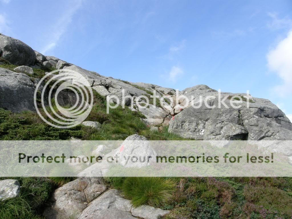
The track became rougher once I’d passed by the farmers fields, and it curved around to the east to reach a finger post directing me to Bynuten – so far so good. I began to follow the red splashes of paint and soon made my only mistake in route finding. I assumed wrongly that the path would wind itself around a small hillock, and I soon found out it didn’t as I splodged through some wetlands – plenty of mossy mounds. Once I’d realised the error of my way, I did a bit of a detour and made my way across to the correct path. After this I had my eye in for the red paint and I didn’t stray for the rest of the walk.

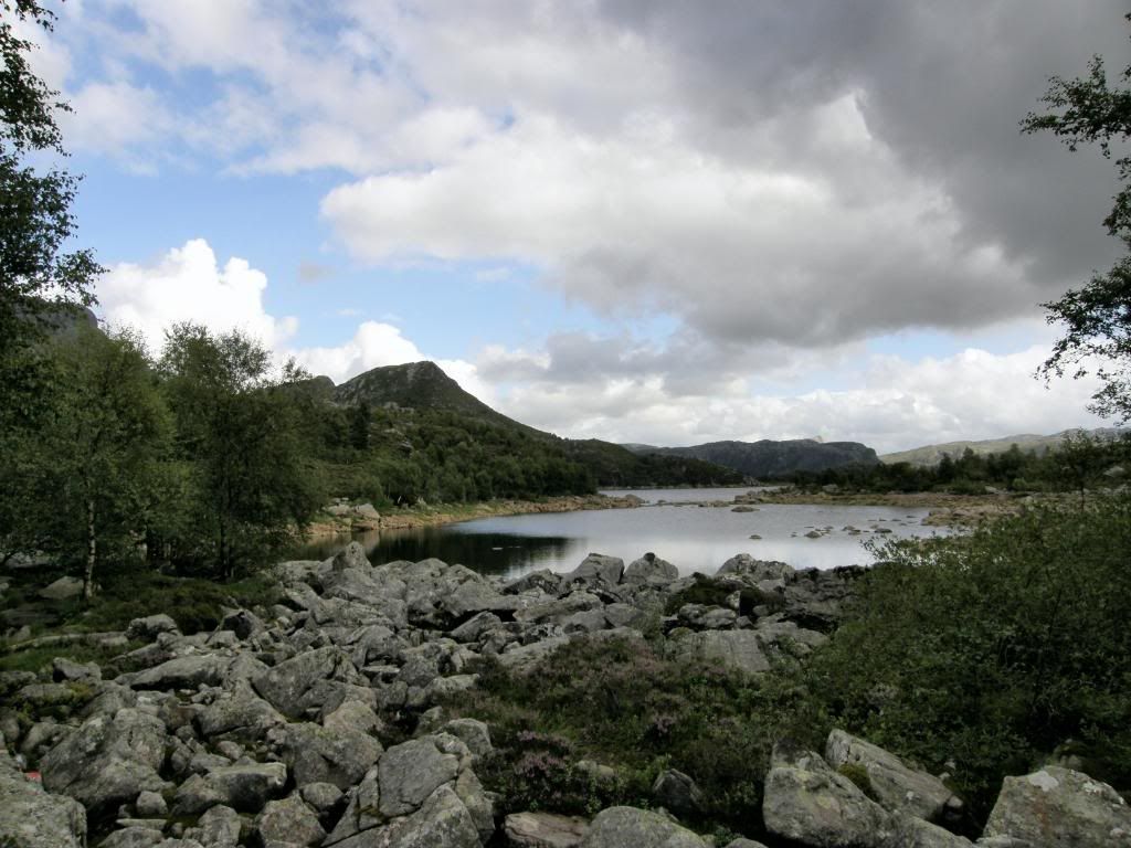
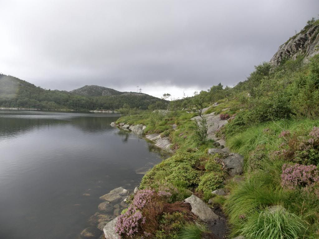
Nearly all of the walk was a mixture of very boggy sandy\peaty soil, interspersed with long sections of boulder hopping, which made for slow progress overall. I didn’t gain much height as I skirted around the shores of the lakes, but there was plenty to enjoy as I worked my way through the birch forest. I didn’t see much wildlife – a few deer and wagtails – they probably heard me coming, but it was very peaceful. I checked my mobile for a signal just in case, and it was strong, with the path clear ahead, so I didn’t have any reservations. The level of the lake had risen to cover the path, so I had to scramble a bit to keep dry feet.
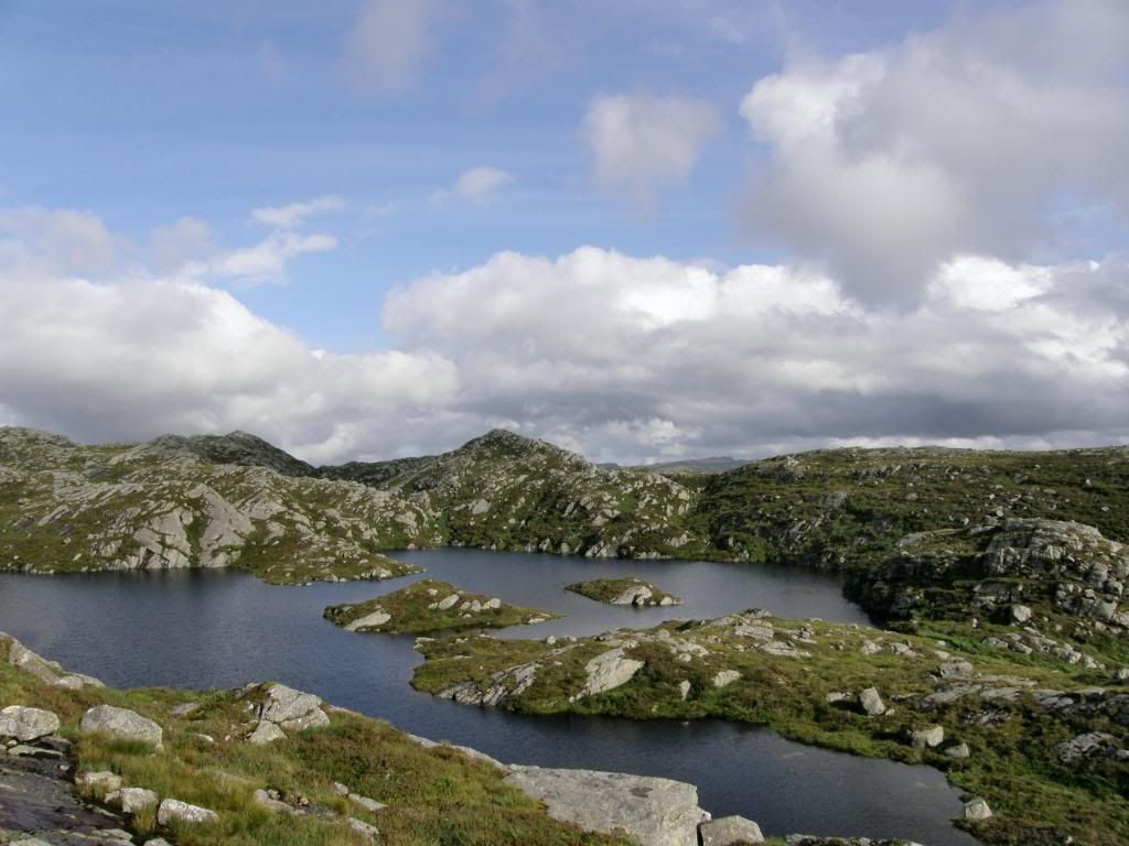
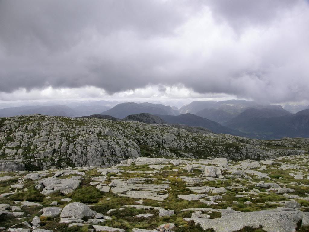
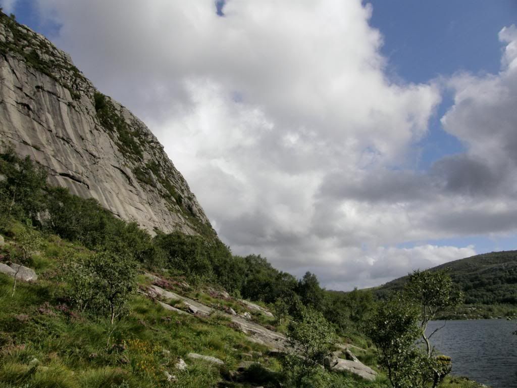
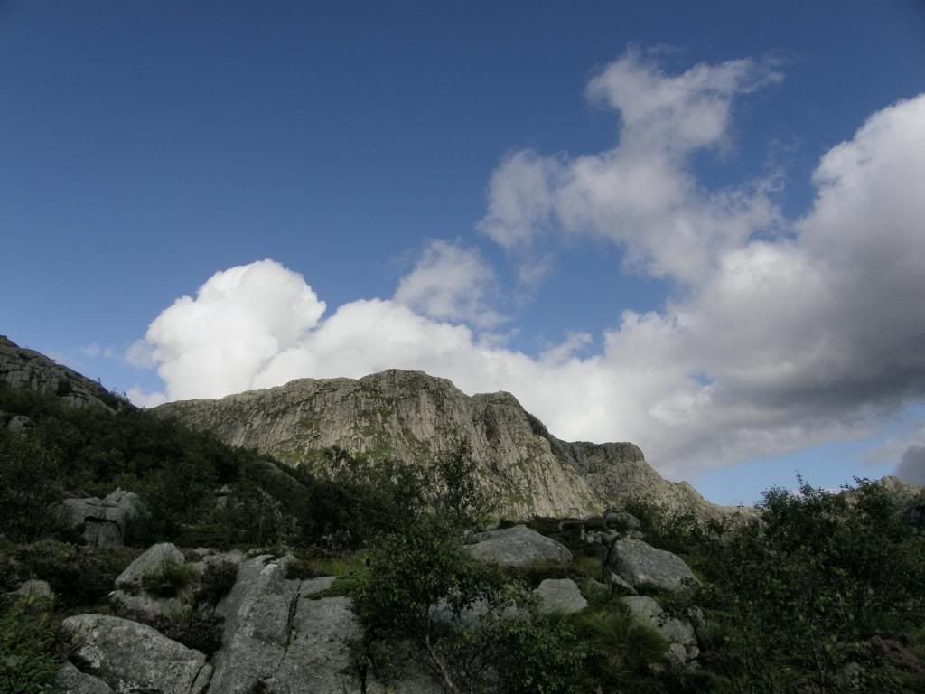
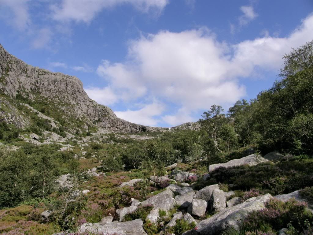
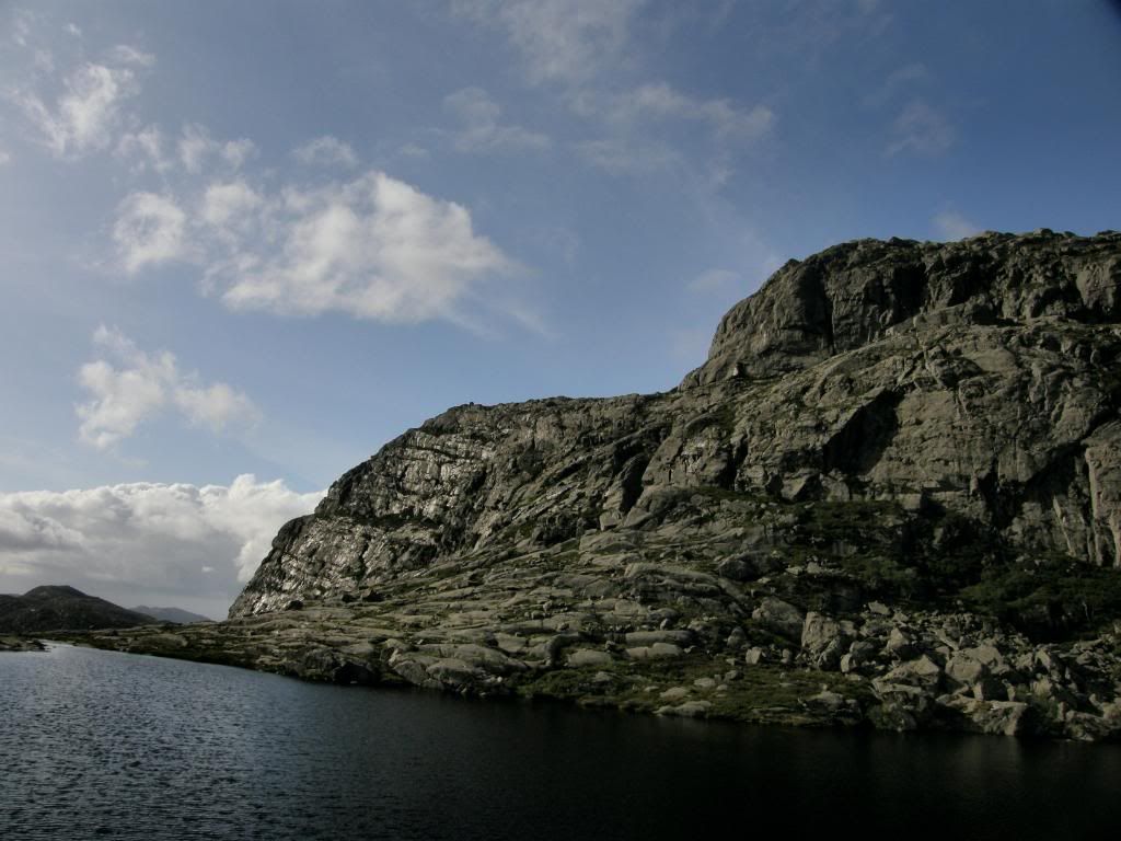
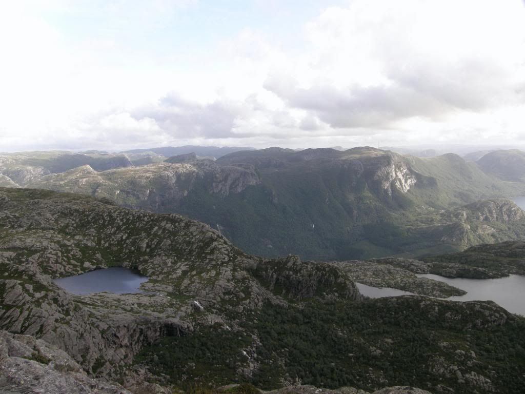
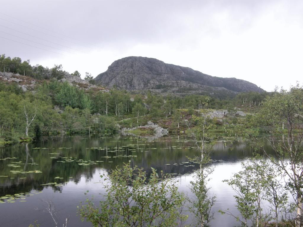
Bynuten was hidden from view until I reached the end of the first lake, then as I climbed a short rock step it loomed into view high above a big cliff face. It was impressive as it sat there in the nude – there’s no vegetation to hide its curves. The route up to the summit naturally followed the valleys up to a col, that was marked by a waterfall pouring over a rock lip. The red markers were clear ahead, and the route now followed a boulder field for a mile of hopping. The rocks had plenty of grip and weren’t slippery at all, but a mile of boulder hopping is slow progress. I could hear the stream rushing beneath the boulders but couldn’t see it until I got up to the falls.


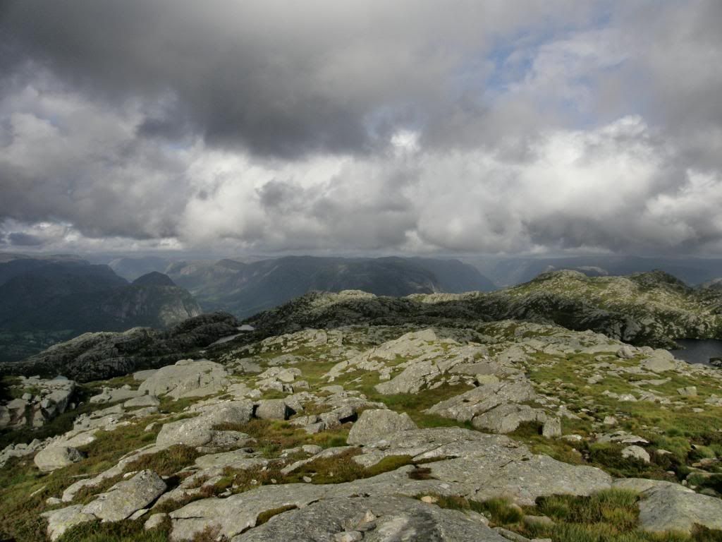
As I poked my head above the crest there was a lovely lake feeding the falls, so I sat a while and just listened – to nothing. A big red U splodge of paint indicated that the route turned around and followed the back side of the tarn, until reaching another valley to walk up. A small rocky scramble bought me up level with a straightforward path up towards the summit. The vegetation was pretty sparse up on top of the hill and it is a different aspect to walking from the UK.

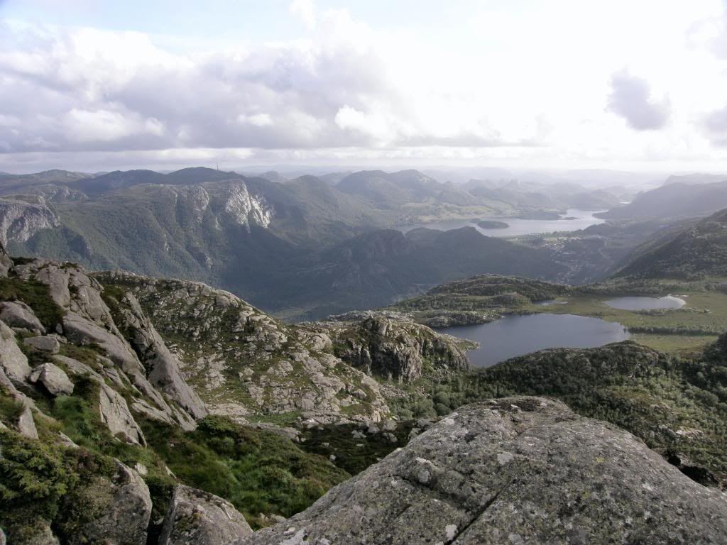
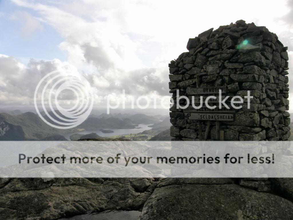
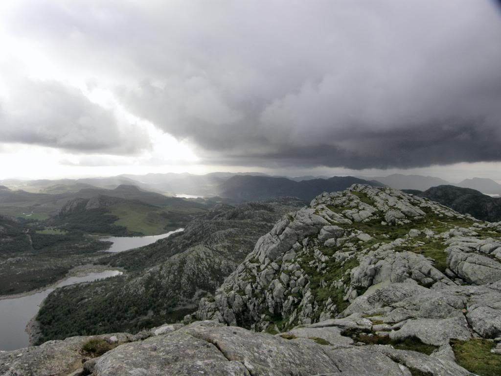
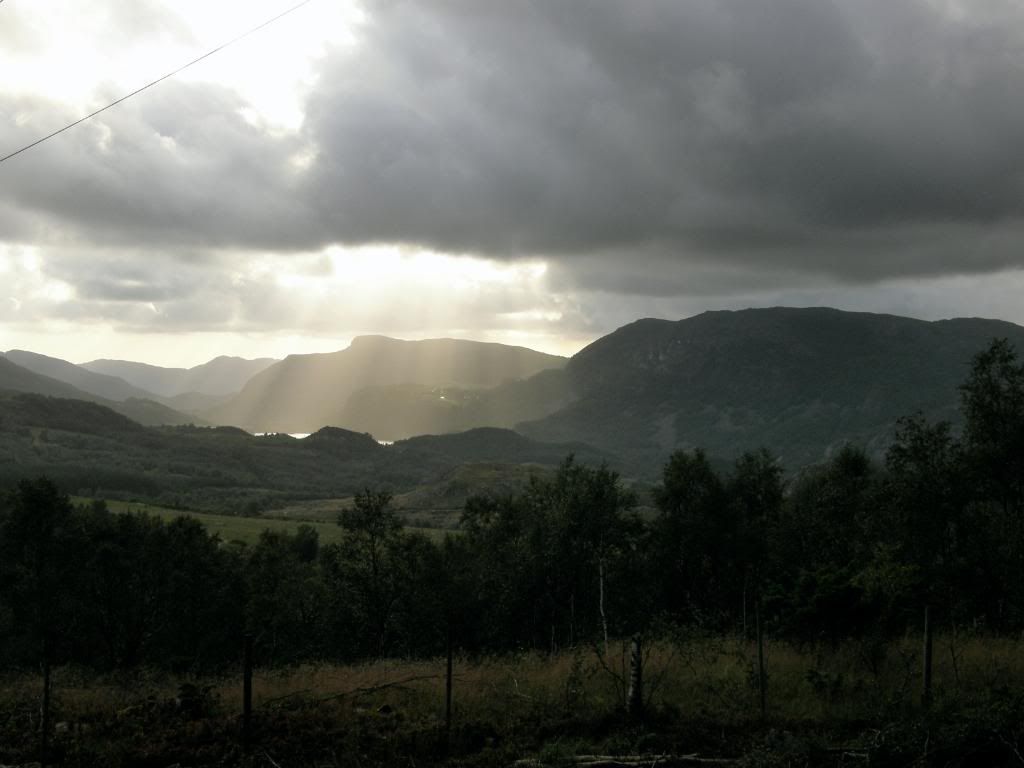
As I gained height the views opened up all around, with a stunning view back down the valley to Oltedal, and over towards the big fjords to the North West. There was a big feeling of remoteness up here, all the way around – I did check the mobile though and still had a signal. Up on the summit the cairn reminded me of some of the larger ones in the Lake District, such as Hallin Fell. Surprisingly there was a small post box with a ledger inside to write your name in – so I did. There was also a wooden sign, just to make sure I was on the right hill and I was. I sat awhile drinking in the surrounds, but that unfortunately included a chuffing big black cloud coming my way.
Not very friendly I thought, but I know when it’s going to rain, so I donned waterproofs in readiness. I legged it off the summit as I already knew the route down and back, and this time there were no mistakes. I made good ground back to the car, and the trip took about 4 hrs overall, including a lot of stops to admire the views. What a great bit of excercise boulder hopping is, and it certainly beats sitting on my butt watching TV – especially as I can’t understand Norwegian anyway. The man with the red paint pot sure has a brilliant job.


